Bachelor of Applied Technology Geographic Information Systems
Southern Alberta Institute of Technology - SAIT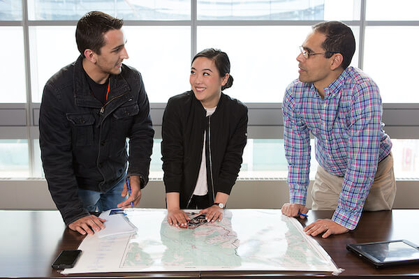
Course Info
The Bachelor of Applied Technology Geographic Information Systems program will provide you with the skills and knowledge to succeed in one of the fastest-growing sectors of information technology.
Geographic Information System (GIS) combines the power of relational database management systems with the flexibility of cartographic display technology and is used for problem-solving and decision making.
This is a two-year, applied degree program consisting of two 15-week semesters in year one, followed by a practicum in year two.
The program accepts students into first semester in September as well as January.
Is this the right fit for me?
Typical geographic information systems job placement advertisements suggest that the ideal practitioner has a sound technical background, is self-motivated and disciplined in achieving results.
Successful geographic information systems professionals are also associated with individuals who can problem-solve through the application of creative and innovative solutions, and provide service based on the concept of continuous improvement.
Contact time with instructors in lectures and labs is about 25 hours per week. The average student is expected to spend about an additional 25 hours per week on assignments, studying, and projects.
Graduates will often work in teams of various sizes. In the program, all courses require working in teams for projects or lab assignments. This requires good communication and interpersonal skills.
To succeed in the program, you will also need to be comfortable working in a computer environment and have a good working knowledge of file management, word processing and spreadsheet software applications.
Accreditation
Although there are no formal accreditation arrangements at this time discussions are pending with several national-level accreditation agencies.
Credential
After successfully completing the program, graduates will receive a SAIT Bachelor of Applied Technology Geographic Information Systems degree.
Graduates can job pursue opportunities in several industries including forestry, natural resource exploration, environmental, engineering, consulting, government, information technology, healthcare and tourism.
Potential positions include:
GIS technologist
GIS technician
GIS analyst
GIS specialist
GIS team leader or manager
Related careers include:
geological technician
field heat treatment technician
Applied Degree
Based on course availibility
Open
January, May, September
Degree in Geology with grade point average 2.3 GPA/67%/C+. Math’s is not required & Grade 12PPthPP English 50% required.
IELTS: Overall 6.0 Band no less than 6.0 Band TOFEL: PTE: N/A
2 Years
CAD$ 22781.00
*Price shown is for indicative purpose, please check with institution
SAIT takes conditional applications on the basis of IELTS Date Confirmation & Last Academic Pending Marksheet
Calgary
Here are some scholarship that are available at The Southern Alberta Institute of Technology - SAIT.
Combined Adrienne Marshall English Scholarship and Barry Marshall Science Scholarship
Tuition Fee Scholarship
For further details, please contact the university website.
- Be students at the Beijing Huija Private School;
- meet all entry requirements normally applied to the English Language Bridging course and the Bachelor of Science1 course;
- not be Australian citizens or permanent residents of Australia; and
- be liable for international full fees.
All international